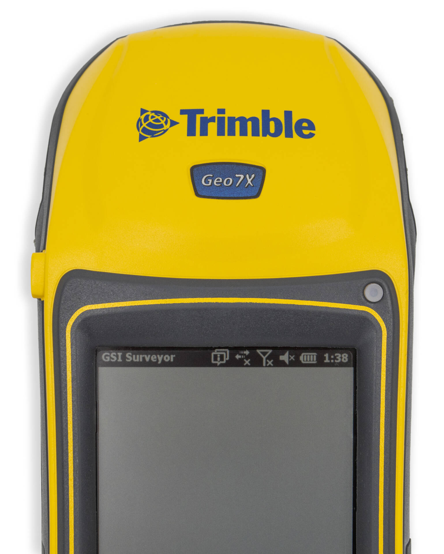
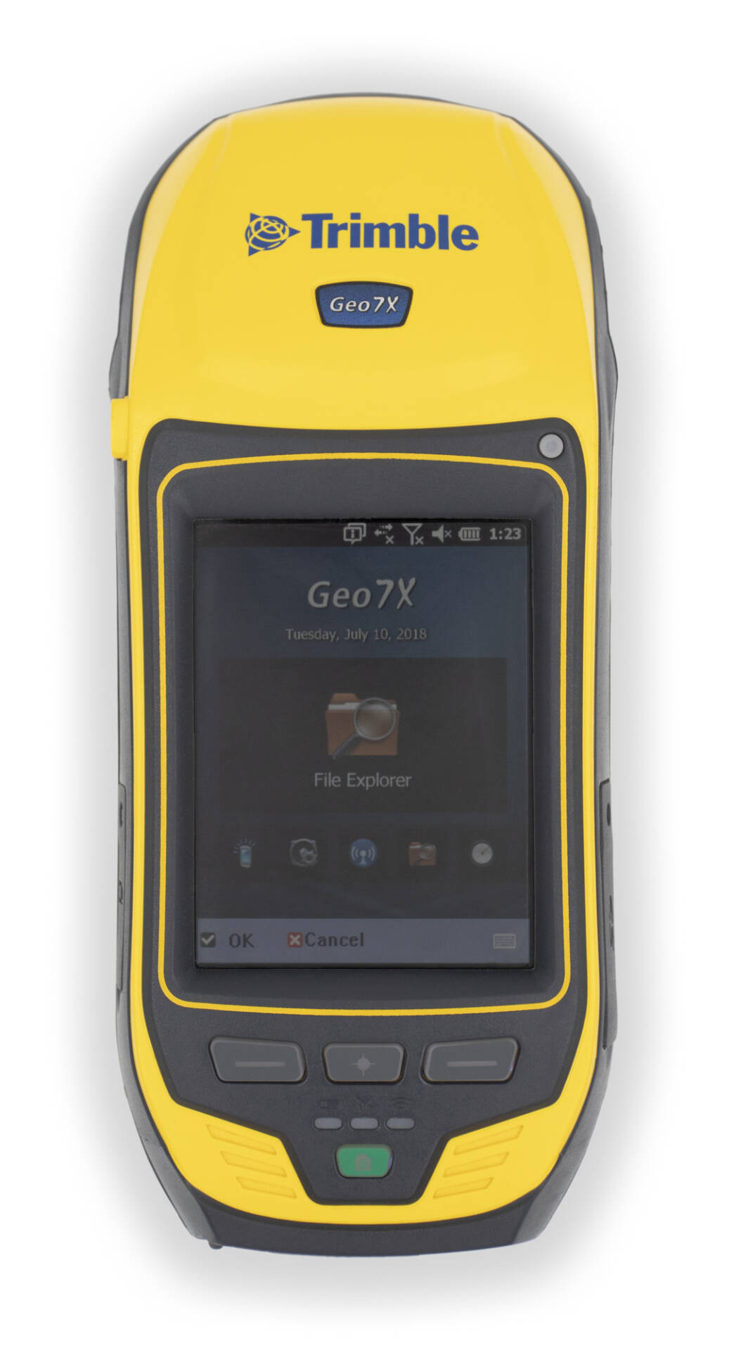
Trimble Geo 7X
The rugged Trimble® Geo 7X handheld with GSI Surveyor™ software is a complete solution designed to make both high-accuracy surveying and handheld point measurement easier, more efficient, and more flexible.
Eliminate Physical Barriers to Field Success
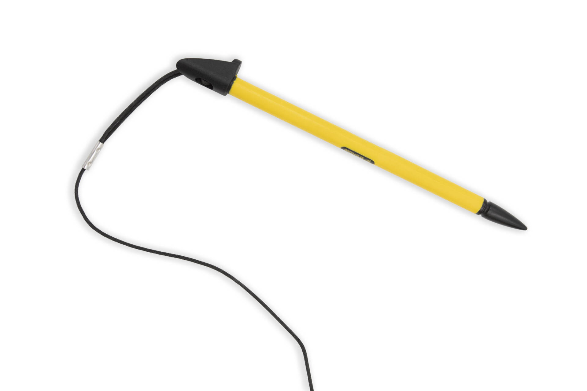
For times when occupying the position is simply not possible due to dangerous conditions or right of-way challenges, utilize the detachable Geo 7X rangefinder accessory. Measurements integrate directly into Trimble data collection software— simply point and shoot to get the position—even where there are obstacles such as traffic or private land access limitations.
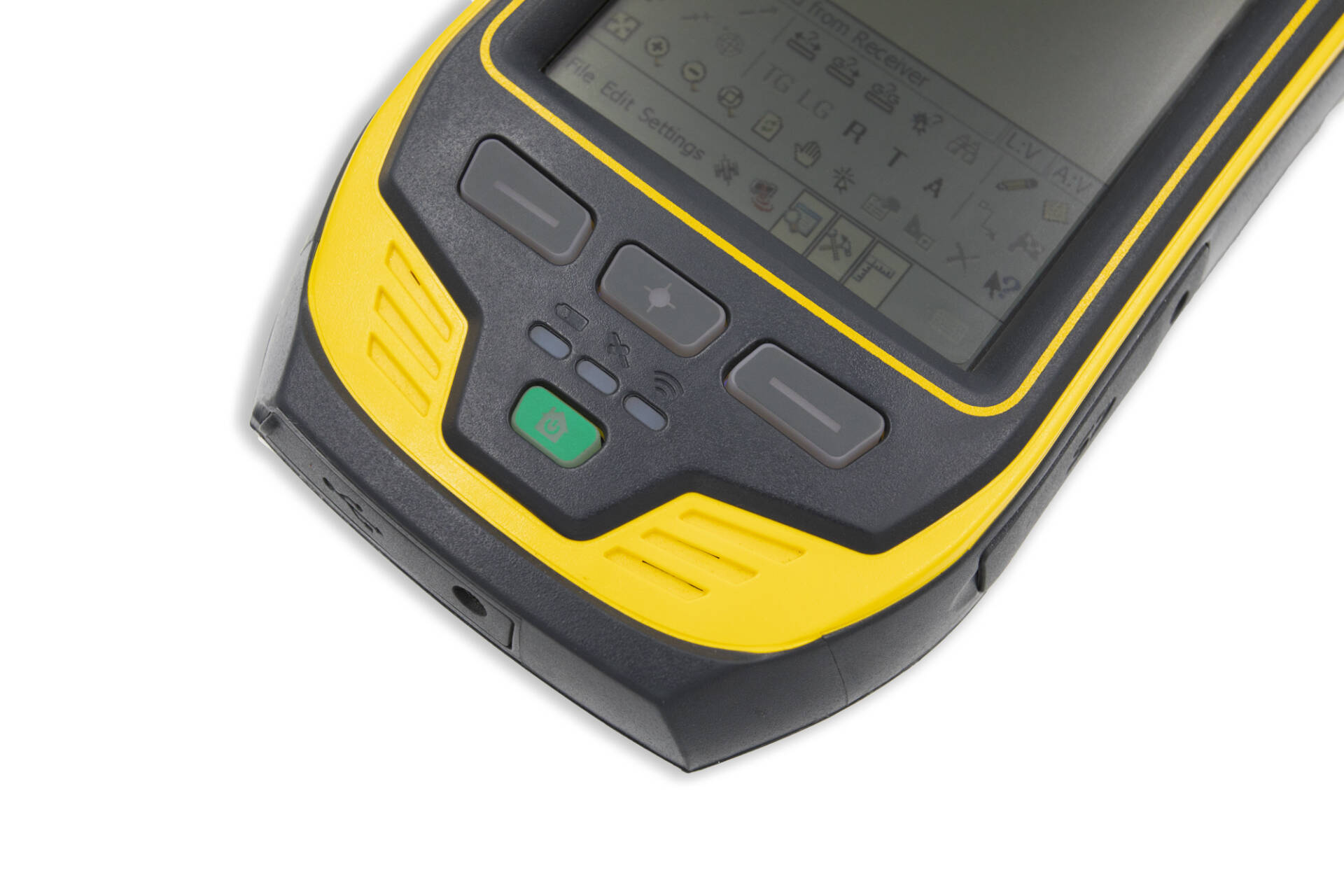
Rugged & Tactile.
Small but sturdy buttons let you navigate with ease. And with battery, satellite, and wifi indicators, you know exactly when your device is connected.
Trimble productivity, handheld convenience.
The Trimble Geo 7X can be used mounted on a survey rod with an external antenna for survey-grade accuracy and when connected to Trimble VRS™ technology, it serves as an advanced and highly productive network rover. Take it off the rod and seamlessly switch to its integrated antenna for handheld point measurement with easy access to features such as its integrated camera.
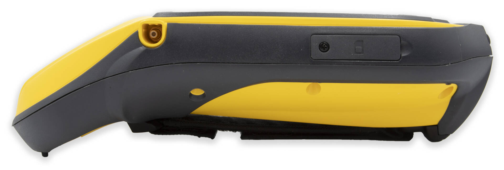
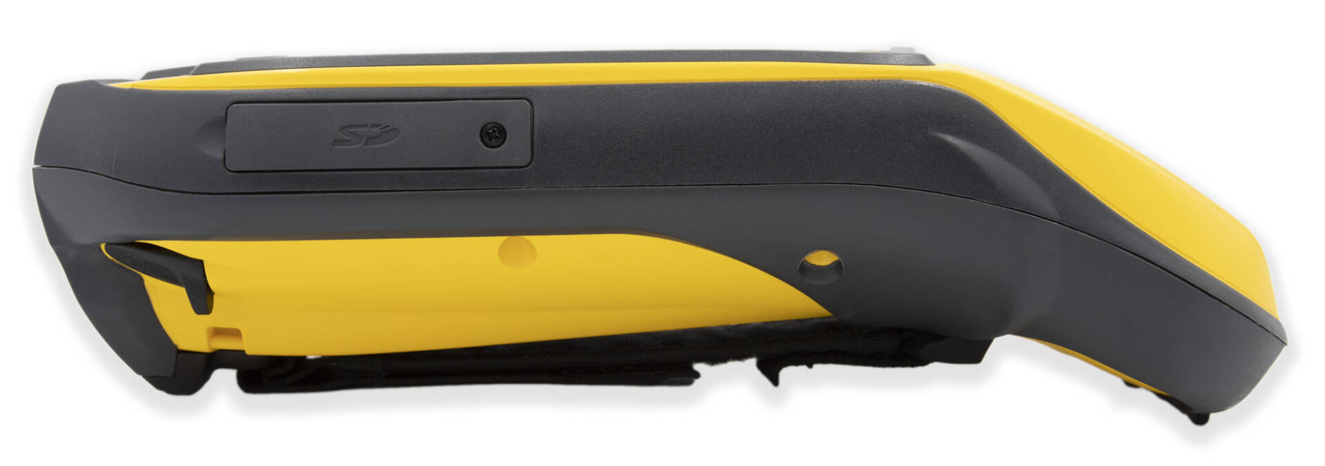
Water tight Construction.
The Trimble Geo 7X is fully rugged with an IP65 rating for dust and water, and MIL-STD-810F ratings for drops, shock, vibration, temperature, altitude and humidity.
4.2 inch Touchscreen.
Smartphones may be the future, but for technology this precise a 4.2 inch touchscreen is epic; and with the included stylus you’ll be surveying in no time, fingerless or not.
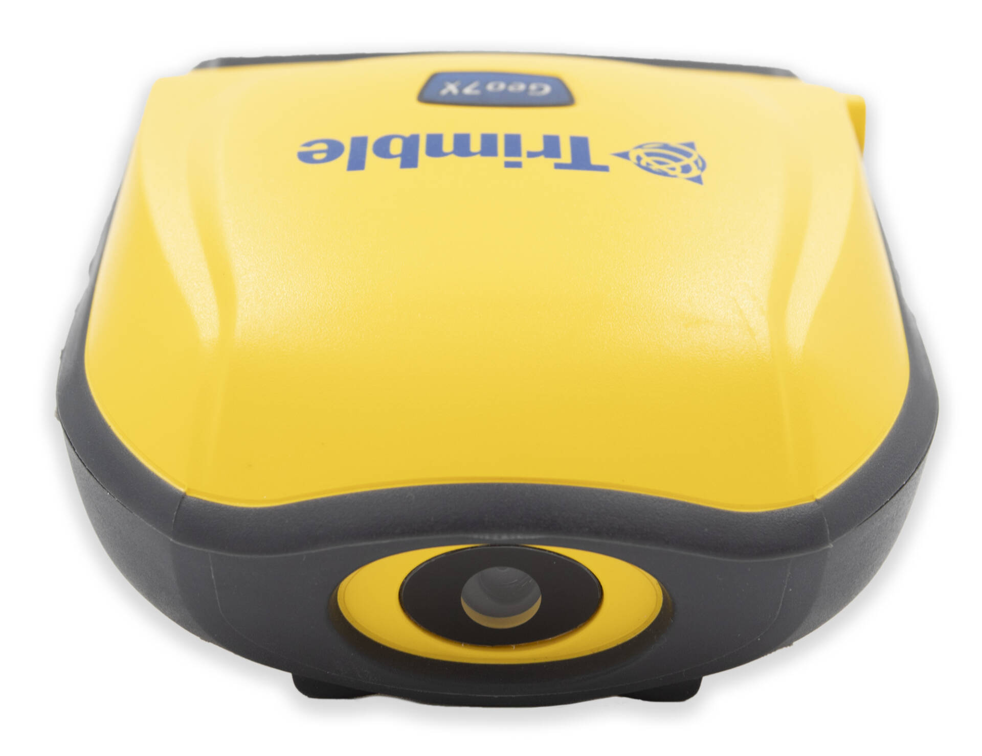
Photographs and Geotagging in the Field.
Aiding in capturing information about an asset, event, or site, the Geo 7X includes a 5 megapixel autofocus camera with geotagging capability. The camera is controlled by the Trimble Access software, so photo capture and linking of images to survey data is seamless and simple to integrate with existing workflows.
GEO 7X Specifications
Eliminate physical barriers to field success
Trimble Flightwave™ technology with the detachable Geo 7 rangefinder accessory, enabling positions to be captured at distances up to 120 m—perfect for when there are obstacles such as traffic or private land access limitations.
Trimble Floodlight™ satellite shadow reduction technology to keep you working when heavy overhead cover (such as trees and buildings) obstructs GNSS satellite reception.
Smart data collection, smart investment
Provides compatibility with existing and currently planned GNSS constellations to deliver reliable GNSS tracking today and for years to come.
Achieves better accuracy in real time without need for a traditional reference station-based infrastructure or VRS network, thanks to Trimble RTX™ correction service options.
Compatible with Trimble GIS field and office software to provide you with flexible end-to-end data collection solutions and workflow choices.
Everything you need
- Powerful 1.0 GHz processor
- 256 MB RAM
- 4 GB of onboard storage
- IP65 rating
- Built-in 5MP camera with enhanced zoom operation, bright color reproduction, and geo-tagging capability
- Sunlight-optimized display to maintain exceptional clarity in all outdoor conditions, for crisp on-screen text and images
- Integrated dual-mode cellular modem that enables continuous network and Internet access to real-time map data, web-based services, Trimble VRS Now™ and Trimble RTX corrections, and live updates of field information