
GNSS (BASE & ROVER) SURVEY-GRADE DATA COLLECTION
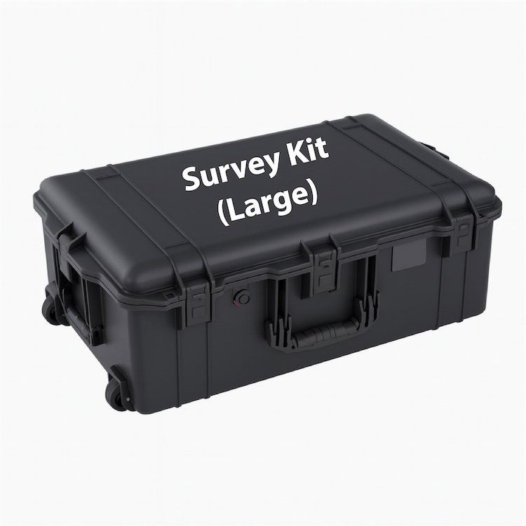
Survey Kit (Large)
GNSS (Base & Rover) survey-grade data collection kit for landing zone and airfield surveys.
Capability
Survey-Grade (GNSS)
Base & Rover
Team Size
1 – 2 People
Purpose
Survey-grade Landing Zone and Airfield surveys.
Survey Kit (Large)
The Survey Kit (Large) is a GNSS base-and-rover survey kit used to collect survey-grade positions and surface geometry data for landing zones and airfields. It supports longitudinal and transverse gradient data collection and surface profile data, along with distance, height, and slope measurements, using GNSS, a handheld data collector, and laser rangefinders.
Items Included
Survey Kit (Large) – What’s Included
GNSS Survey (2 GNSS Total)
(1) Trimble R12i GNSS base unit
(1) Trimble R12i GNSS rover unit
GNSS power and data cabling
UHF radio antennas, one per GNSS unit
Rechargeable GNSS batteries, minimum two per unit
Dual GNSS battery charger
GNSS transport and protective hard case
Carbon fiber tripod for base station
Extension rods and mounting hardware for rover operations
Digital Data Collection
(2) Handheld data collectors, Trimble TDC6 or equivalent
Data collection and survey software licenses
Charging cables and power adapters
USB and data transfer cables
Protective cases or holsters for handheld devices
Field Computing and Data Management
(1) Field laptop, customer selectable civilian or ruggedized
External solid-state drive for data backup and transfer
Data cables and adapters
Protective laptop case
Laser and Environmental Measurement
(2) TruPulse 360i laser rangefinders
Laser lanyards and protective cases
Mini tripod or monopod for laser use
(1) Kestrel weather meter
Measurement and Layout
(1) DuraWheel measuring wheel
100 ft measuring tape
Professional line and grade level device
Lensatic compass with backup compass
Manual clinometer
Inclinometer stick
(2) SR-71 survey rods
Survey stakes and marking flags
Chalk line reel
Drafting scales, triangle, and straightedge
Coordinate scale and protractor
Mini laser level
Documentation and Forms
(2) Field notebooks
(2) Surveyor field books
Clipboard
Graph paper
HLZ and DZ reference cards
Site sketch templates
Document folders and sleeves
Marking and Visibility
Marking paint or chalk
(2) Surveyor safety vests
Soil and Terrain
Full-length soil probe
Soil sedimentation test jar kit
Clear graduated jars
Sealing lids
Reference instruction card
Optics
(1) Compact binoculars
Writing and Recording
Pens, pencils, and markers
Grease pencils
Erasers
Field Support
Task light
Utility knife
Gloves
First aid items
Kneeboard or writing board
Foldable map case
(2) Tool pouches or slings
Spare batteries and charging accessories
Transport and Packaging
Hard transport case
Case insert segmented by function
NOTE: Additional equipment and mission-specific items may be incorporated upon request. Survey kits can be configured to support expanded training, redundancy, sustainment, or customer-defined operational requirements. SEE BELOW
Optional Add-On
Optional add-on modules are available to expand the Survey Kit (Large) based on mission requirements, team size, or desired redundancy.
Weight-Bearing Capacity Add-Ons
Dynamic Cone Penetrometer (DCP)
Dynamic Cone Penetrometer (DCP) with Magnetic Ruler
Soil Characterization Add-Ons
Soil sieve kits
Soil sampling and basic soil testing equipment
Survey System Expansion
Additional handheld data collectors
Additional GNSS rover or base units
Compute & Processing Add-Ons
Additional laptop computer
Ruggedized laptop upgrade
Support & Sustainment Options
Spare batteries and charging accessories
Additional consumables and field spares
Configuration and integration support